Vision × Earth Observation
Remote sensing and machine learning on satellite imagery
Vision × Earth Observation
Remote Sensing · Deep Learning · Cloud-Native Geospatial
Tess Vu · Luciano Lu · Ming Cao — UPenn 2026
Projects
EuroSAT Land Cover Classification
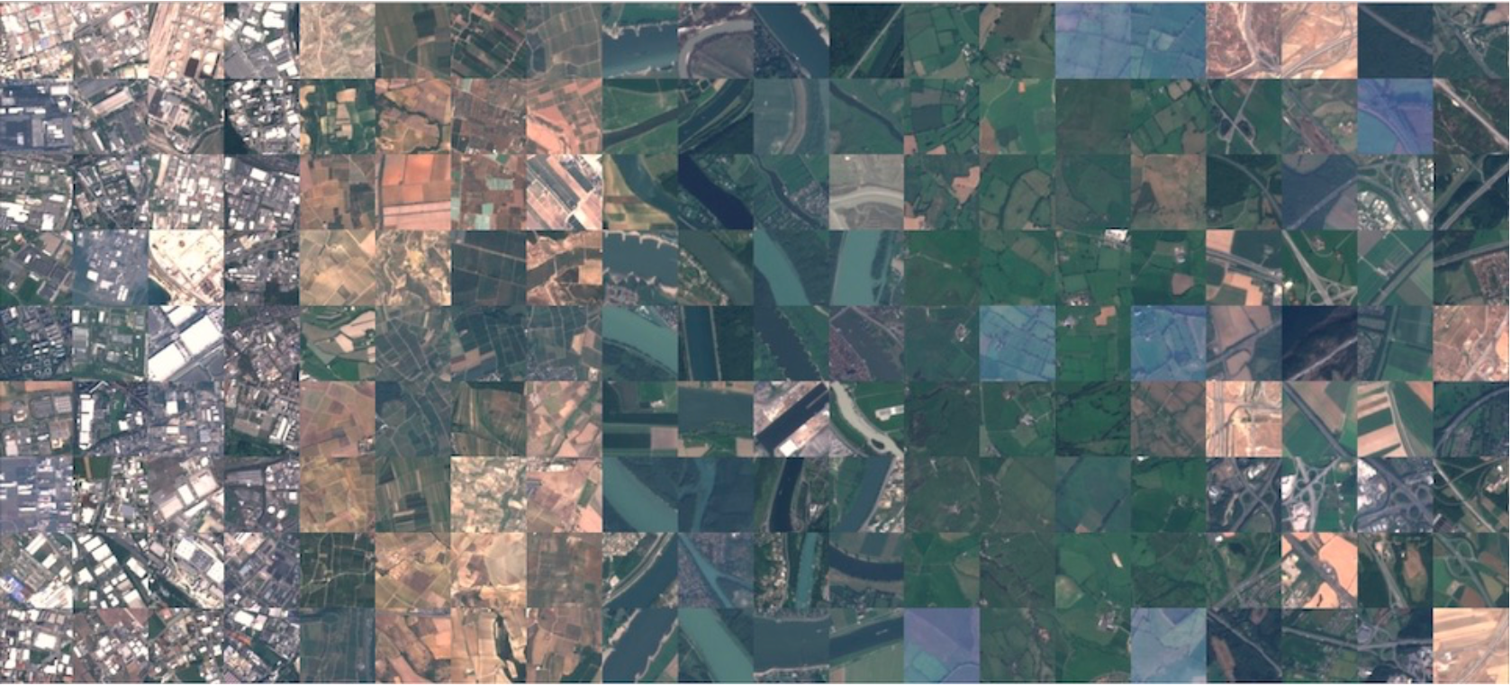
Supervised and unsupervised classification of multispectral Sentinel-2 imagery across 10 land-use categories using the EuroSAT benchmark dataset. Implemented CNNs and compared against traditional ML baselines.
2025 LA Eaton and Palisades Fire Damage Prediction
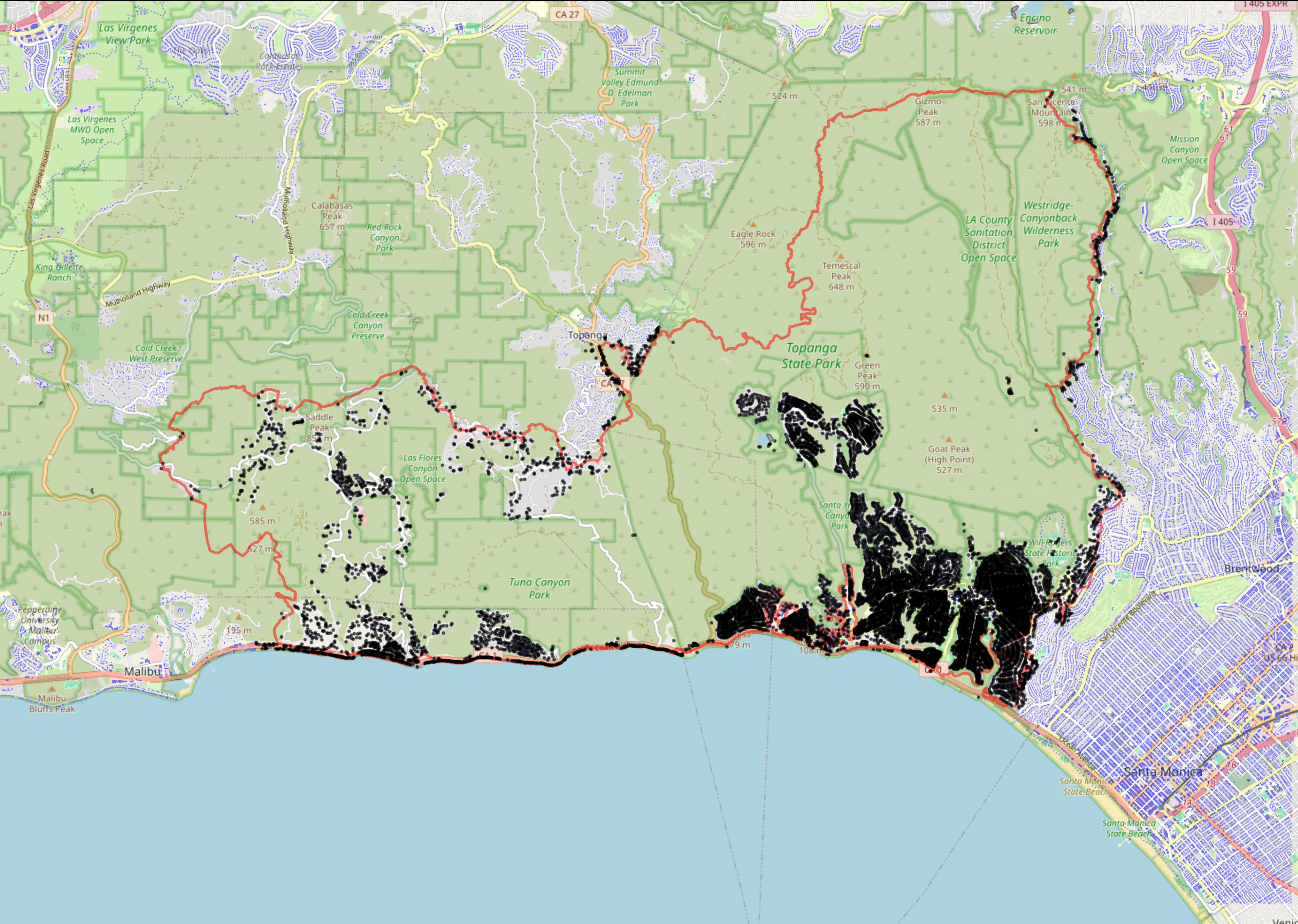
Topographically-aware U-Net semantic segmentation to predict structural damage from the January 2025 Palisades wildfire using Sentinel-2 imagery, DEM aspect, and CAL FIRE DINS field assessments as ground truth.
About
This portfolio presents work from a Computer Vision and Earth Observation course, applying supervised/unsupervised machine learning and deep learning (CNNs) to aerial and satellite imagery. Projects use cloud-native geospatial workflows with STAC APIs and real-world remote sensing data.
Stack: Python · PyTorch · Sentinel-2 · Google Earth Engine · STAC API · scikit-learn · GeoPandas
